


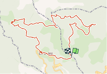

14.5 km | 24 km-effort


User


FREE GPS app for hiking
 SityTrail
IGN / Geographical institutes
SityTrail World
The world is yours!
Trail Walking of 15.2 km to be discovered at Occitania, Pyrénées-Orientales, Le Tech. This trail is proposed by force.
date : 15/05/2015


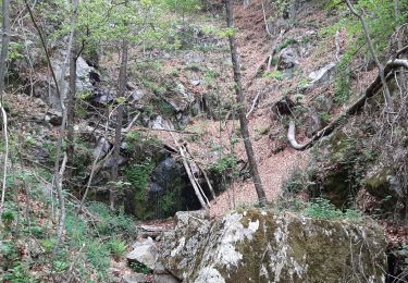
Walking

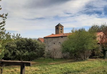
Walking
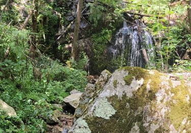
Walking
Walking
Walking

Walking

Walking
Walking
Belle rando !